
Scenario processing and large‑portfolio workflows that translate scientific metrics into decision‑ready outputs for investment and reporting.
Managing physical risks across large-scale asset portfolios requires translating complex, high-volume scientific data into standardized, decision-ready metrics. We can bridge the gap between advanced hazard simulation and operational investment strategies. For this purpose, we process spatial and structural data against future climate scenarios to quantify physical exposure across entire portfolios. We identify systemic vulnerabilities and pinpoint localized hotspots. Beyond standard climate projections, we also seamlessly integrate localized geological threats to provide a truly holistic risk profile.
Rather than relying on superficial, low-level exposure scores, we deliver scientifically sound asset diagnostic scorecards. These outputs are explicitly aligned with current regulatory frameworks, such as the EU Taxonomy and the Corporate Sustainability Reporting Directive (CSRD). By providing transparent scenario assumptions, definitive confidence intervals, and identified red flags, these analytics empower financial institutions, real estate funds, and corporate entities to navigate regulatory requirements with academic-grade evidence. Ultimately, we transform abstract hazard data into actionable, grounded risk management strategies that build long-term portfolio resilience.
When managing hundreds or thousands of assets globally, spatial context and comparative benchmarking are critical. We deliver interactive spatial heatmaps and standardized scorecards that aggregate complex multi-peril data into clear, comparative metrics.
For the most highly exposed assets within your portfolio, we isolate the specific physical drivers pushing them into critical risk territory. We provide a prioritized "red-flag" registry that details the primary hazards, includes scientific confidence intervals for the underlying models, and outlines grounded, actionable next steps for detailed site-level intervention.
We supply a comprehensive methodological appendix specifically designed for ESG officers and auditors. This document provides total transparency on the exact Shared Socioeconomic Pathways (SSPs) used, the time horizons analyzed, and a direct mapping of our physical risk outputs to the reporting requirements of the EU Taxonomy and the Corporate Sustainability Reporting Directive (CSRD).
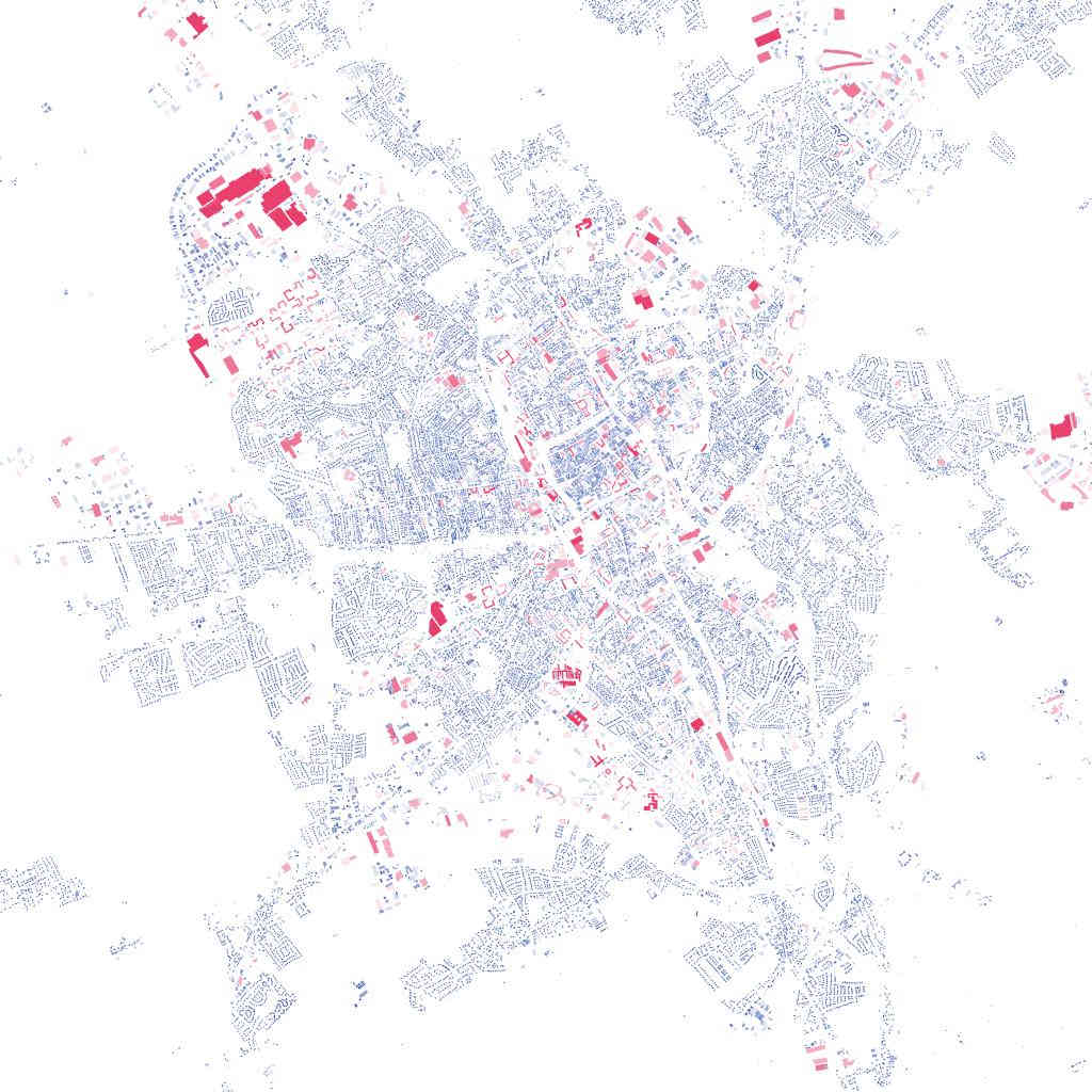
Assessing a massive, geographically dispersed portfolio requires translating raw, high-resolution hazard data such as inundation depths, wind speeds, or seismic peak ground acceleration into standardized, comparable exposure metrics. Our system can process large geocoded asset databases against thousands of global hazard layers and future climate models outputs.
We apply vulnerability proxies based on asset type, construction class, and regional building codes to estimate potential physical damage. This scalable approach allows large-scale portfolio owners and managers to objectively quantify physical exposure across their entire book of business without sacrificing scientific rigor.
The era of qualitative climate risk disclosures is over; regulatory bodies demand quantitative, forward-looking physical risk assessments. We can provide the scientific bedrock necessary for corporate compliance without the risk of greenwashing. We align our multi-peril screening methodologies directly with the physical climate risk classification systems mandated by the EU Taxonomy and CSRD.
By delivering scientifically validated, scenario-aligned risk metrics and transparent vulnerability assessments, we enable financial institutions to seamlessly populate their mandatory climate disclosures.
A resilient portfolio must be prepared for multiple future trajectories. We conduct rigorous portfolio-wide stress tests against diverging climate scenarios, ranging from mitigated pathways (e.g., SSP2-4.5) to unmitigated, high-emissions futures (e.g., SSP5-8.5).
By isolating how specific hazards intensify over distinct time horizons (2030, 2050, 2080), we empower asset managers to test the longevity of their investment strategies and adjust capital allocation before physical climate impacts are priced into the broader market.
The accuracy of any portfolio risk assessment is fundamentally limited by the quality of the input data. Corporate asset registries frequently suffer from incomplete location data or missing structural attributes.
Before running our hazard simulations, we can conduct rigorous data enrichment, translating vague addresses into precise geocoordinates and utilizing proxy datasets to infer critical building characteristics. This fundamental step ensures that our models are applied to an accurate spatial baseline, drastically reducing uncertainty and preventing false "safe" readings caused by poor location data.

Audit‑grade physical risk analysis for individual assets. Explains the “why” behind risk using hazard‑specific diagnostics.
Modelling thermal temperature and cooling demand based on building density and materials.
Differentiating between fluvial (river) floods and pluvial (flash) floods to identify drainage risk.
Screening for earthquake and ground failure risks, landslides, and soil stability issues.
Assessment of >100 Climate Risk indicators relevant for your assets and locations.
Climatological assessment of wildfire drivers, trends and historical evaluation of wildfire susceptiblity.
Assessing the physical impact on coastal infrastructure for today's and tomorrow's shores.